
scottb613
Orbiting Earth
All,
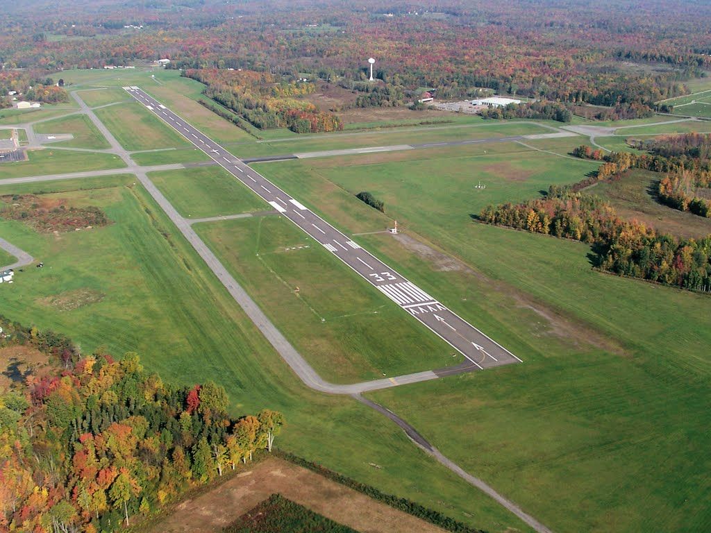
Airport: KFZY
Date: Saturday 28 July @ 11:00
Glenn (sierra0th) recommended a Fly-In to the Central NY region - and - Oswego Co near Fulton NY seems like an excellent candidate... It's located right on the shores of Lake Ontario - just north of Syracuse...
It has an on field restaurant named "Puddle Jumpers" to meet our needs...
http://puddle-jumpers.com/index.html
Hope to see some Baby Beeches there...
Hopefully we'll have some good weather...
Hah - Tom - (2) New York Fly-Ins scheduled - ball is in your court - sir...
")
OBTW; How do I remove that "THUMBS DOWN" symbol from my title ???
Regards,
Scott
Airport: KFZY
Date: Saturday 28 July @ 11:00
Glenn (sierra0th) recommended a Fly-In to the Central NY region - and - Oswego Co near Fulton NY seems like an excellent candidate... It's located right on the shores of Lake Ontario - just north of Syracuse...
It has an on field restaurant named "Puddle Jumpers" to meet our needs...
http://puddle-jumpers.com/index.html
Hope to see some Baby Beeches there...
Hopefully we'll have some good weather...
Hah - Tom - (2) New York Fly-Ins scheduled - ball is in your court - sir...
OBTW; How do I remove that "THUMBS DOWN" symbol from my title ???
Regards,
Scott
Last edited:
